
Agroecology Reading time 6 min
Soil: a world revealed
Published on 29 November 2021
A gamble that has succeeded beyond all expectation
Twenty years after it came into being, the InfoSol unit has turned out to be ‘a gamble that has succeeded beyond all expectation’, as Dominique Arrouays, the unit’s first director, tells us. The need identified at that time to expand the information available on French soils led to an ambitious move to enrich and capitalise on existing expert knowledge that gambled on both the science and the people involved. It saw the newly formed unit take over the management of the IGCS national soil survey programme, and the creation and mobilisation of over 2000 investigation sites in a grid covering the whole country to form the physical basis for the RMQS, the French Soil Quality Monitoring Network. This brought with it the need to galvanise a disparate multitude of partners to collect and communicate the data and to develop and provide mapping and modelling tools. The products of this vast process were then placed in a ‘time machine’ – the European Conservatory for Soil Samples (CEES) in Orléans – a custom-designed soil repository whose rammed-earth walls have, since 2014, held the samples collected during the RMQS’s soil campaigns. ‘The soils of 2000 may no longer be in existence, but we are still able to analyse them by using the samples stored here’, say the unit’s scientists.
Back when the RMQS started out, the time and costs involved in the DNA analysis that would be required to catalogue microbial biodiversity put it beyond the reach of the unit. ‘In 2007, access became easier and we started to map soil micro-organisms using the RMQS samples working in partnership with the Genosol platform in Dijon. It was pioneering work, and the map we produced scooped us the jackpot!’ The maps that followed, revealing the distribution of metallic trace elements such as lead, arsenic and cadmium in the soil, also ‘hit the headlines’, says Dominique. ‘They have changed how we perceive soil, there is a greater recognition of its importance for the environment – and for human health’. And as Antonio Bispo, the unit’s current director, adds, ‘our data and our samples are useful to a wide range of stakeholders: the data on soil carbon help in the development of climate-change policies, the trace-element data inform health policies, the data on agricultural soils feed into the CAP and the environmental data help local decision makers’. Indeed, he says ruefully, the unit is so successful that ‘we haven’t enough hands or heads to fulfil our remit and stay on top of data requests, so we find ourselves systematically and constantly having to take on temporary staff.’
Creating a long-term history of soil health
InfoSol was born from the recognition by INRAE, at the end of the 1990s, that for all the excellent research carried out in the field of soil sciences, in particular the work of the Institute, France lacked the necessary tools to measure soil quality and to create its own national map with detailed information at regional and local scales. InfoSol provided the solution to this, with the capacity to track positive and negative changes in soil cover throughout the French landscape, including the French overseas territories. In 2001, the force of INRAE’s arguments convinced its institutional partners and the Soils Scientific Interest Group (Gis Sol) was set up to improve data availability on French soils, with InfoSol coordinating the work. The gamble was on. In 2011, the unit delivered its first report on the state (chemical, biological and physical) of French soils, while its recent activities include participation in the production of an Atlas of Soil Bacteria (Atlas des bactéries du sol) and, in partnership with the French National Institute of Geographic and Forest Information (IGN), open access provision of its soil map for France at a scale of 1:250 000 via the French Geoportal, both in 2020.
InfoSol continues to be distinctive in Europe because data collection systems in many other European states are more fragmented. The unit exports its know-how across a European network and, as a member of the Global Soil Partnership, contributes to a world network comprising 193 countries. In 2015, under the aegis of the UN Food and Agriculture Organisation, this network produced the first report on the state of the world’s soil resources. InfoSol is currently participating in the creation of a common international soil data ontology as part of an open science initiative. Its data and expertise are directly involved in high-level research, evidenced by the fact that the publication output of this service unit corresponds to that of most research units.
An infectious enthusiasm: inspiring participation in a giant field project
The collection and capitalisation of soil information have required the commitment of many partners such as chambers of agriculture and agricultural engineering schools, whose members have been trained to carry out sampling and mapping. The enterprise is vast. For, despite the apparent simplicity of the underlying principle, once in the field, you realise quite how many resources have been put to work. The RMQS grid data points can fall in a field, in the middle of a city block, in the heart of a forest or on top of a mountain. So, you may have to make arrangements with farmers on how you are going to take your samples without interfering with their crop management, or you may need to clear an area of woodland undergrowth to access your designated sampling site, find an urban green space that meets the survey criteria or, again, tramp for 3 or 4 hours lugging 200 kg of tools and instruments to reach a mountain sample point. Once on the ground, everybody has his or her own part to play: the ground is cleared and spades and augers go into action. It’s a team game. A soil scientist will characterise the soil in terms of its morphology, noting particle sizes, moisture levels and colour, and establish the profile of its successive horizons (layers) from the surface down to the bedrock. On certain test sites, soil samples are taken from traps installed by ecologists to record and identify whatever fauna is present and to record earthworm numbers.
Following this intensive on-site activity, the soil samples are taken to the CEES in Orléans, where they are weighed and prepared for storage. Some are sent for analysis by partner laboratories such as the LAS (soil analysis laboratory) in Arras and Genosol in Dijon, or by BioChemEnv in Versailles where the enzyme activity of the soils is analysed.
It won't work without the people
The data from all these tests are entered into a single national database, DoneSol, and then it is the turn of the modellers, statisticians and cartographers to enter the game. And, this is not the only database managed by InfoSol, it is also responsible for the BDAT soil database and the BDETM trace elements database, both of which contain analytical data from private partner laboratories. This system is quite unique in Europe and incorporates soil test results from all over France dating back to 1990. It currently contains data from 3.4 million analyses that can be used to provide statistical evidence for trends. The statistics show, for example, that there is an upward trend in the pH values of agricultural soils, and that soil content levels of phosphorus in Brittany and carbon in Franche-Comté are evolving.
‘It won’t work without the people’, the team members remind us firmly, one after another. As Déborah Chavrit, support officer for the RMQS, says: ‘I appreciate the team spirit, all the different complementary skills. We feel that we work effectively together – if one of us needs help then we can ask someone else’. Repeatedly, they stress the importance of the team’s dynamism, its motivation and its readiness to overcome challenges, as well as the public service commitment that is deeply rooted in this unit whose primary function is to serve others.
Fresh horizons
This unit does not lack for new challenges and perspectives. Christine Le Bas, the team’s data advisor, for example, describes the complexities that arise from conflicting legislation when the National Open Data policy, supported by the Digital Republic Act of 2016, comes into conflict with the data protection rights of landowners, guaranteed by GDPR. As yet, there is no case law for these matters.
The data continue to flow and are expected to increase in volume with the introduction of sensor-based acquisition systems. Claudy Jolivet, a soil scientist, also draws our attention to the unit’s current investigation of 110 additional molecules, including glyphosate, at the request of the ANSES (French Agency for Food, Environmental and Occupational Health & Safety). Microplastics, pathogens and antibiotic resistance, too, are all coming under the microscope. With 90% of antibiotics coming from soils, the unit’s work in this area, in partnership with INRAE’s Agroecology Unit, has two purposes – to discover new antibiotics and to monitor for the emergence of new strains with antibiotic resistance.
Bertrand Laroche, the unit’s deputy director, points to a growing trend in land-use planning, where data on soil ecosystem services are increasingly included in urban planning reports as matters of relevance for local authorities, calling for the provision of mapping with finer spatial resolution. Requests for help from InfoSol are increasing on a wide variety of local planning issues such as water management for river basins and drinking water catchments.
We are prepared to bet that the impact of InfoSol’s work will be felt more and more widely, bringing further changes in our perceptions of soils.
* GIS Sol (www.gissol.fr) partners: French Ministries of Ecological Transition and Agriculture, INRAE, Institute of Research for Development (IRD), Environment and Energy Management Agency (Ademe), National Institute for Geographical and Forestry Information (IGN), French Biodiversity Office (OFB), French Geological Survey (BRGM)
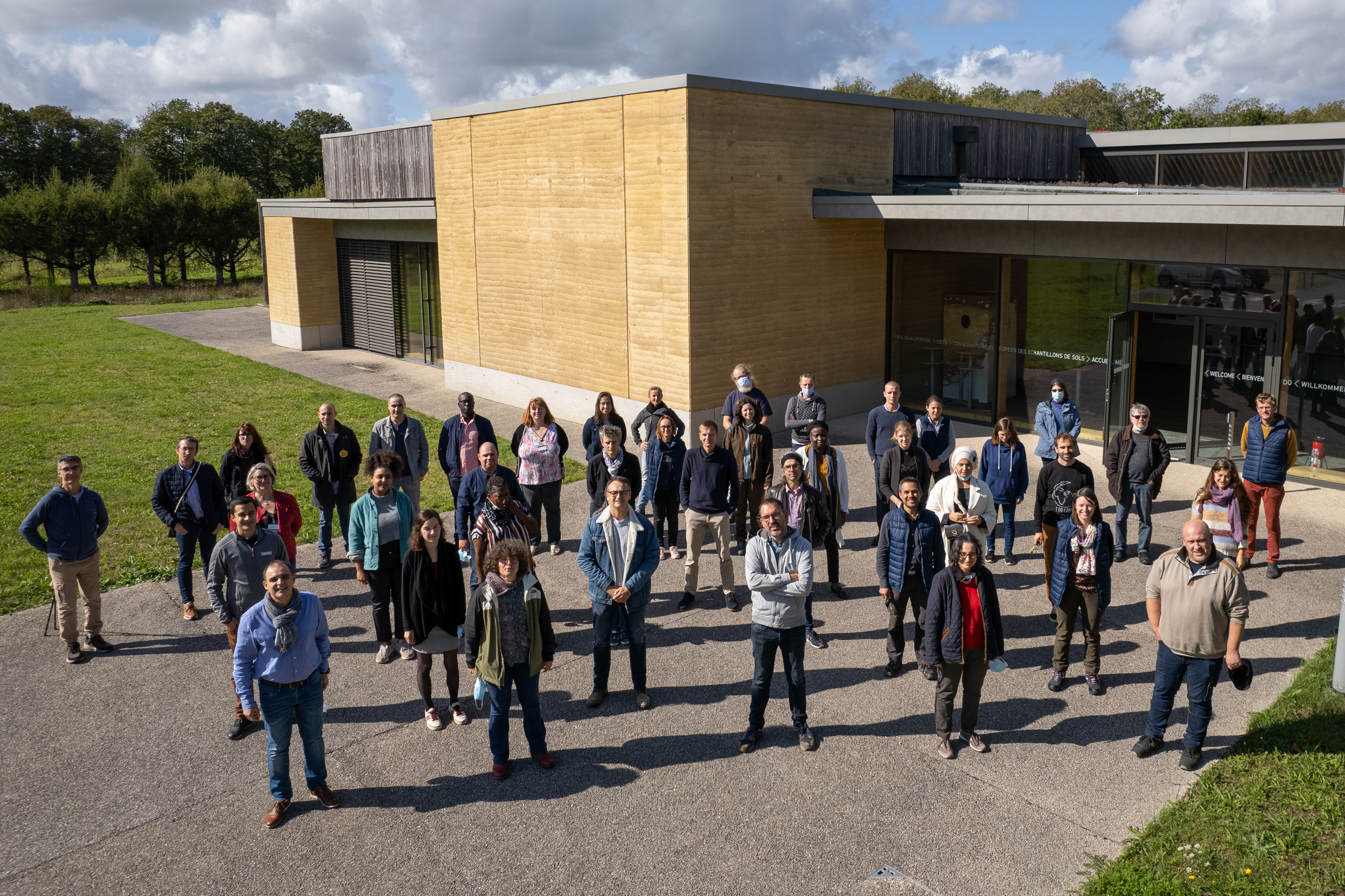
RECOGNITION FOR THE TEAM
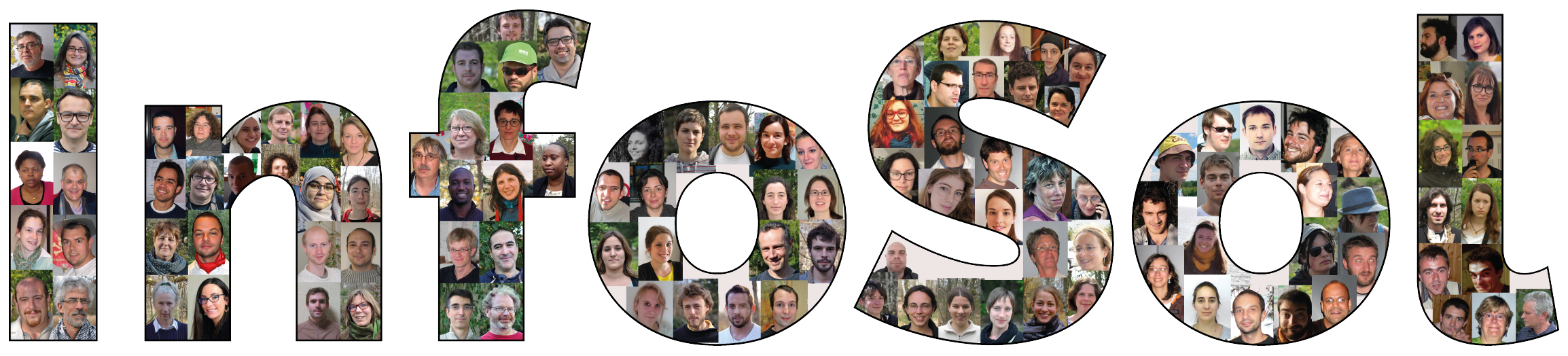
The InfoSol unit is a dream team of all the talents: soil scientists, cartographers, data scientists, data technicians, field teams and management teams.
This 2021 Science with an Impact Award recognises the twenty years of hard work by the InfoSol unit to advance our knowledge of soils and provide access to soil data.
KEY DATES
- 2000: Creation of the RMQS network for the measurement of soil quality and of the InfoSol Unit
- 2001: Creation of GIS Sol* (Soils Scientific Interest Group)
- 2007-2008: Soil DNA analysis begins
- 2009: Conclusion of the first RMQS collection campaign for mainland France
- 2011: Publication of the first report on soil status in France at the request of GIS Sol, still the reference today
- 2014: Opening of the CEES soil repository
- 2015: Creation of the GIS Sol website. Completion of the overseas elements of the RMQS soil sampling campaign
- 2017: Production of the French national soil-carbon map, which is added to the FAO world map.
- 2019: Publication of revised map of Less-Favoured Areas to support the French Ministry of Agriculture
- 2020: Open Access map of main soil types in France made available through the Geoportal working with the IGN and the Sols et Territoires (soil and land) Mixed Technology Network, headed by INRAE
KEY FIGURES
- InfoSol team: 50 members, 30 permanent staff
- External partnership involvement: 3 global working groups, 8 European projects and 15 ANR projects
- DoneSol soil database: 192,587 observation datapoints (soil profiles and/or samples) stored in the national database
- IGCS inventory: coverage for 96% of French territory at a scale of 1:250 000
- RMQS soil quality monitoring network: 2,240 sites (centred in 16 km x 16km grid squares) regularly monitored for soil quality in France
- Soils: 90 tonnes stored at the CEES in over 62,000 samples
- BDAT soil test database: 3.4 million entries